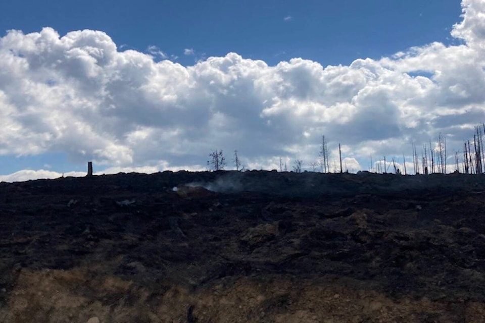
Shuswap residents can expect to see smoke rising from the Bush Creek East fire on Monday.
The blaze is an estimated 43,380 hectares in size and it’s possible black smoke will be coming from within the fire’s perimeter as the area is surrounded by burned material. However, BC Wildfire states this is not a concern.
Environment Canada is calling for a 70 per cent chance of showers this morning with a risk of a thunderstorm. Wind is forecast to gust from 30 km/hr up to 50 km/hr before becoming light in the afternoon.
A forecasted change in weather on Monday and Tuesday will bring lower temperatures and reduced windspeeds, which will provide some relief on the fire.
A special air quality statement is in effect for the area due to the wildfires burning in the region. People with lung disease (such as asthma) or heart disease, older adults, children, pregnant people, and people who work outdoors are at higher risk of experiencing health effects caused by wildfire smoke.
For Monday, BC Wildfire will have 190 wildland firefighters and 32 support staff on the blaze, along with 11 helicopters and 29 pieces of heavy equipment.
Agate Bay
Some growth was seen south of Agate Bay and north of Fadear Lake on Saturday. These areas are a priority for BC Wildfire crews to work to build containment lines and slow growth in the area
North Shuswap/Meadows Creek/Scotch Creek/Onyx Creek
Ground crews will work on cooling hotspots closest to the urban interface.
Structure protection crews continue to provide overnight monitoring and patrol for hot spots in the North Shuswap area.
Crews and helicopters are working to suppress active areas in the Meadows Creek valley. Steep terrain and significant amounts of fallen debris are challenging efforts in some areas, said BC Wildfire.
Hot, dry and windy conditions over the weekend caused some fire growth in areas to the north and northwest of Mount Riley over the weekend.
Turtle Valley/Sorrento
Crews are using direct attack methods to minimize the fire’s spread on the east side of Squilax Mountain, above the south shore. Drone scanning data is being used to identify and cool hot spots in Turtle Valley.
Overnight, seven structure protection crews supported the North Shuswap.
Shuswap residents can check the Shuswap Emergency Program’s evacuation alert and order map.
Detailed operational information is available on the BCWS dashboard for fire K21633.
READ MORE: Shuswap wildfire expected to be active as wind, temperatures rise
